Grounding the Machine: SLAM, VIO, and the Reality of Localisation

Grounding the Machine: Where is the Robot?
In the pursuit of autonomous mobility, the most fundamental question remains unanswered for many deployed systems: Where am I? For humanoid robots, warehouse AGVs, and mobile manipulators, the answer relies on Simultaneous Localisation and Mapping (SLAM). While concept renders often showcase robots floating seamlessly through cityscapes, the reality of SLAM in the Indian context involves navigating uneven terrain, variable lighting, and sensor constraints.
This article evaluates the current state of Visual SLAM (vSLAM), Visual Inertial Odometry (VIO), and modern map-building techniques. We grade claims based on shipping hardware, pilot deployments, and verified announcements rather than press releases.
Visual Odometry vs. Full SLAM
Visual Odometry (VO) estimates motion by analyzing image sequences. It tells the robot how it moved but does not inherently know where it started. SLAM extends this by building a map of the environment while estimating the robot's pose relative to that map. The distinction is critical for long-term autonomy.
VO is computationally cheaper but drifts over time. SLAM corrects this drift using loop closures—recognizing a previously visited location. In a warehouse in Pune or a retail store in Mumbai, loop closures are essential to prevent the robot from believing it is still in New Delhi.
The ORB-SLAM Architecture
ORB-SLAM is one of the most widely adopted open-source frameworks in the industry. The latest iteration, ORB-SLAM3, supports monocular, stereo, and RGB-D cameras, as well as LiDAR integration.
- Feature Tracking: Uses ORB (Oriented FAST and Rotated BRIEF) features for robust keypoint detection.
- Optimization: Employs a unified bundle adjustment framework to minimize re-projection errors.
- Loop Closure: Uses a bag-of-words model to detect recurring places and correct drift.
While powerful, ORB-SLAM requires sufficient texture. A white-walled warehouse in Ahmedabad, for instance, poses a challenge for feature-based systems. Hardware limitations often dictate algorithm choice more than software capability.
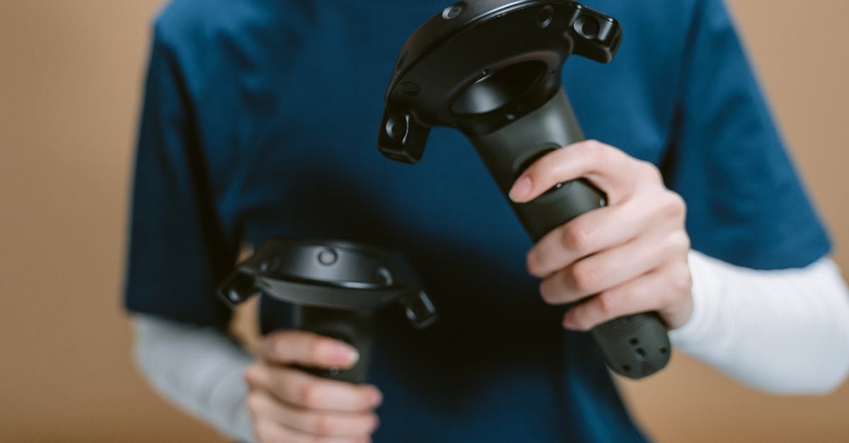
The Rise of Visual Inertial Odometry (VIO)
Visual Inertial Odometry combines camera data with an Inertial Measurement Unit (IMU). The IMU provides high-frequency motion data (acceleration and rotation) that cameras cannot capture due to frame rate limits.
This is critical for humanoid robots. During rapid limb movement, cameras suffer from motion blur. The IMU maintains localisation during these transitions. Systems like VINS-Fusion or ORB-SLAM3 with IMU integration have moved from academic papers to shipping products in drones and mobile platforms.
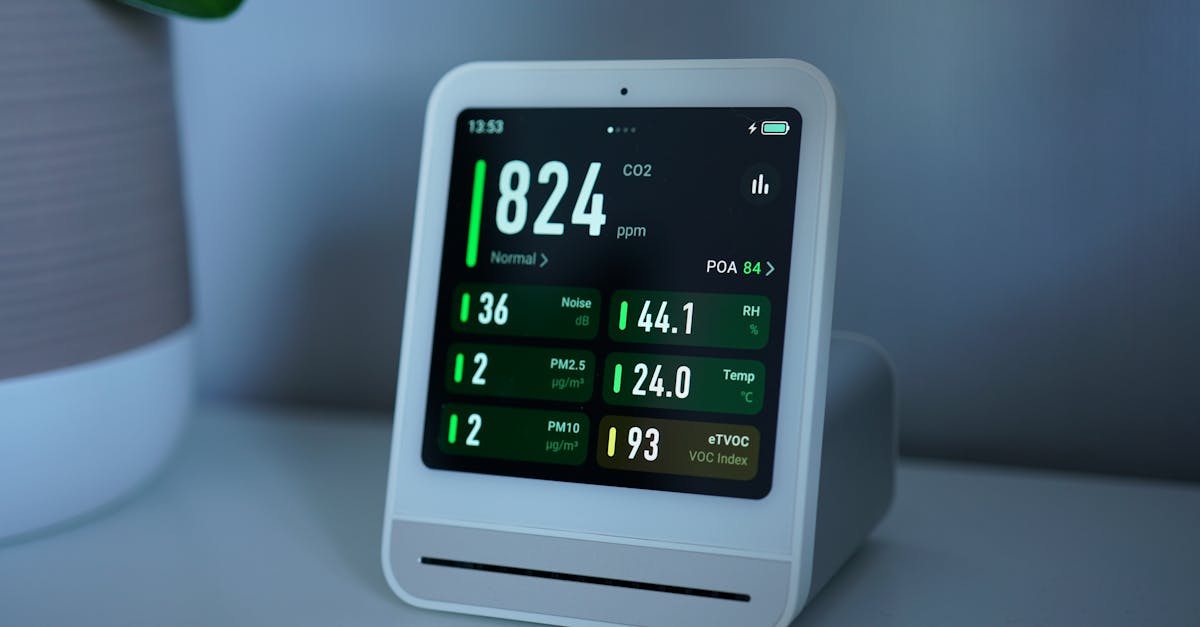
Sensor Hardware: Eyes and Ears
Algorithm performance is bound by hardware fidelity. The Indian market offers a spectrum of sensors, ranging from consumer-grade depth cameras to industrial LiDAR.
LiDAR vs. Visual Sensors
LiDAR (Light Detection and Ranging) provides direct distance measurements, making it robust against lighting changes. However, it is expensive. A mid-range 16-channel LiDAR from Ouster or Velodyne can cost between ₹3,00,000 to ₹5,00,000 INR, excluding import duties and integration.
Conversely, stereo cameras are significantly cheaper. The Intel RealSense D435i or Orbbec Astra+ cost under ₹25,000 INR. While these lack the range of LiDAR, they enable SLAM at a fraction of the cost.
| Sensor Type | Approx. Cost (INR) | Deployment Maturity |
|---|---|---|
| LiDAR (16-32 ch) | ₹3L - ₹8L | High (Autonomous Vehicles) |
| Stereo Depth Camera | ₹15k - ₹50k | Medium (Drones/AGVs) |
| RGB-D Camera | ₹10k - ₹30k | High (Indoor Robotics) |
Note: Prices are landed cost estimates including shipping and taxes as of 2024.
Edge Compute Requirements
Running SLAM on-device requires significant compute. A Raspberry Pi 4 is insufficient for real-time LiDAR SLAM. Most commercial deployments rely on NVIDIA Jetson modules (Orin NX, AGX Orin) or industrial PCs.
For a humanoid robot, power consumption is a constraint. Jetson Orin NX consumes around 15W to 30W under load. This impacts battery life and thermal management. In hot climates like Delhi or Chennai, thermal throttling can degrade SLAM performance.
Map-Building: From Point Clouds to Occupancy Grids
SLAM does not just track position; it constructs a representation of the world. This map must be usable by downstream systems for path planning.
Point Clouds and Semantic Maps
Raw point clouds are dense but computationally heavy for path planning. Most systems downsample this data into Occupancy Grid Maps (OGM). An OGM divides space into cells, marking them as free, occupied, or unknown.
Advanced systems add semantic layers. A robot must distinguish between a static wall and a dynamic human. In Indian retail environments, dynamic obstacles (cow, pedestrians, carts) are frequent. Pure geometric SLAM often fails here without semantic filtering.
Loop Closure in Dynamic Environments
Loop closure is the weakest link in dynamic environments. If a corridor is rearranged, the robot may lose its map. Recent research focuses on invariant features—structures that do not change, such as building corners or permanent fixtures.
Commercial systems like Google Cartographer or Microsoft KinectFusion have moved towards this stability. However, in the Indian context, where infrastructure is rapidly changing, map updates must be frequent.
The Indian Market: Availability and Cost
The Indian robotics ecosystem is maturing, but sensor availability remains a bottleneck. Import duties on electronic components affect the cost of SLAM hardware.
Hardware Sourcing
Major brands like Intel, Ouster, and Hesai have distributors in India. However, lead times can exceed 8-12 weeks for custom configurations. Local integrators often source from China due to price competitiveness.
For startups, the cost of entry is high. A LiDAR-based SLAM stack for a delivery robot can cost ₹10 Lakhs in hardware alone. This excludes the software licensing and engineering hours.
Pilot Deployments
Despite the costs, pilots are underway. Warehouse automation in Gurgaon and logistics in Chennai utilize LiDAR-based SLAM for AGVs. Humanoid pilots remain rare. Companies like Agimi and Robotics India are testing VIO-enabled platforms for specific tasks.
These deployments validate the technology but highlight the fragility. A 10% sensor failure rate can halt operations. Redundancy is key.
Deployment Challenges: Lighting, Dynamics, and Compute
Real-world deployment reveals gaps that benchmarks hide.
Lighting Conditions
Visual SLAM struggles in low light. Sunlight causes overexposure, while indoor lighting causes shadows that confuse feature detectors. Thermal cameras are emerging as a solution but remain expensive (₹1L+).
Dynamic Obstacles
Standard SLAM assumes a static environment. In India, this is often untrue. A cow blocking a lane or a construction site changes the map. Systems must differentiate between static and dynamic objects.
Compute Constraints
Running ORB-SLAM3 on a Jetson Nano is impossible. Higher tiers are required. This increases the Bill of Materials (BOM). For a cost-sensitive market like India, this is a major barrier.
Conclusion: The Path to Autonomy
SLAM and Localisation are the backbone of autonomous robotics. While VIO and ORB-SLAM provide robust solutions for controlled environments, the Indian market demands resilience against variable lighting and dynamic obstacles.
Hardware costs remain the primary constraint. As sensor prices drop and edge compute becomes more efficient, SLAM will transition from a lab curiosity to a standard utility. Until then, engineers must prioritize hardware reliability over algorithmic complexity.
References
✓ Key takeaways
- •Hands-on view of Grounding the Machine: SLAM, VIO, and the Reality of Localisation inside our SLAM & Localisation library.
- •Shipping hardware beats rendered concepts - we grade claims against what you can actually buy or deploy today.
- •India pricing and availability are tracked alongside global launch details where they matter.
References
Related articles
More in SLAM & Localisation →